
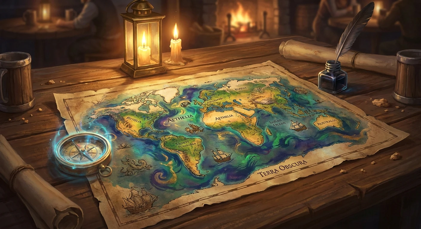
Understanding the Shadow and Bone Map
When you first glance at the shadow and bone map, it honestly feels like looking at a beautifully chaotic puzzle just waiting to be solved. I remember sitting in my cozy apartment in Kyiv, tracing the jagged lines of the Shadow Fold with my finger, thinking how much the concept reminded me of the dense, almost impenetrable fog that sometimes rolls through the Carpathian Mountains back home. It gives you absolute chills. If you are a fan of Leigh Bardugo’s incredible Grishaverse, mastering this intricate geography is absolutely essential for understanding the political tensions, trade routes, and sheer survival tactics required in this universe. You simply cannot grasp the massive stakes without knowing exactly where the borders lie and who controls them.
By breaking down the continents, vast oceans, and heavily guarded frontiers, you get a front-row seat to the geopolitical nightmare that Ravka faces every single day. The country is literally split in two by a massive, unnatural swath of darkness, surrounded by powerful enemies on all sides. Honestly, it is a miracle they manage to survive at all. We are going to explore exactly how this fictional cartography works, why it dictates the lives of millions, and how you can use it to track your favorite characters’ journeys across a deeply fractured world.
The Geopolitical Landscape of the Grishaverse
To truly appreciate the brilliant design of the landscape, you need to understand the distinct territories that make up this world. Ravka, the central nation where most of the primary action occurs, is heavily inspired by 19th-century Tsarist Russia. To the brutal north lies Fjerda, an ice-locked, heavily militarized country modeled after Scandinavia, where Grisha are hunted down like dangerous animals by the elite Drüskelle soldiers. To the far south is Shu Han, a scientifically advanced nation bordered by massive, seemingly insurmountable mountain ranges.
Here is a quick, detailed breakdown of the primary regions:
| Region | Real-World Inspiration | Key Geographical Feature |
|---|---|---|
| Ravka | Tsarist Russia | The Shadow Fold |
| Fjerda | Scandinavia | The Ice Court & Permafrost |
| Ketterdam (Kerch) | Dutch Republic | Island Canals and Secret Harbors |
| Shu Han | China / Mongolia | The Sikurzoi Mountains |
Why is this geography so completely brilliant? The true value proposition of this map is how the terrain directly dictates the narrative plot. For instance, Ravka’s tragic inability to trade due to the Fold forces the entire population into devastating poverty and constant military drafting. Another prime example is Ketterdam’s highly strategic position as an island nation, which naturally makes it the undisputed central hub for international trade, ruthless smuggling operations, and high-stakes piracy.
If you want to track character movements accurately while reading or watching, you should always follow these steps:
1. Always locate Os Alta first, as it serves as both the political and magical capital of Ravka, housing the King and the Grisha.
2. Trace the True Sea trade routes to understand exactly how illicit goods, weapons, and smugglers move seamlessly from Kerch all the way to Novyi Zem.
3. Mark the exact borders of the Fold with a mental red pen, noticing how it completely cuts off West Ravka from the mainland and creates a massive black market economy.
When you accurately map these locations out, the narrative stakes suddenly become incredibly clear. You see exactly why crossing the True Sea is so perilous, why controlling the mountain passes into Shu Han is a matter of absolute national security, and why the entire world is constantly teetering on the edge of total war.
Origins of the Grishaverse Geography
The creation of the world’s geography was not just a random afterthought. The landmasses were meticulously designed to create maximum conflict and tension. Ravka is entirely landlocked on its eastern side, separated from its only functioning coastal ports by the Volcra-infested Unsea. This specific geographical setup instantly explains the extreme poverty and sheer desperation of the First and Second Armies. The borders were intentionally drawn to squeeze Ravka from both the north and the south, creating a geopolitical pressure cooker where war is the only constant.
Evolution of the Unsea
Hundreds of years ago, the Shadow Fold simply did not exist. It was artificially created by the Black Heretic, resulting from a devastating, arrogant misuse of merzost—dark, highly unstable magic. Before that catastrophic event, Ravka was a unified, highly prosperous nation with direct, unimpeded access to the True Sea. The map used to look entirely different. Once the Fold violently ripped through the beautiful landscape, entire bustling towns were swallowed whole, and ancient trade routes were instantly severed. Royal cartographers had to scramble to redraw the entire world, marking a terrifying, expanding strip of absolute darkness that no sane person ever wanted to cross.
Modern State of the Borders
Fast forward to the current era, and the physical map reflects a world permanently locked in a bitter cold war and endless border skirmishes. The heavily fortified borders between Ravka and Fjerda show exactly where the Drüskelle patrols operate with impunity. The map is a living, breathing document, constantly reflecting shifting military alliances and brutal territorial disputes. Even the seemingly small, neutral island of Kerch holds immense global power simply because of its strategic location along the major international shipping lanes. Every single line drawn on the parchment represents blood spilled, treaties broken, and fortunes lost.
Cartography Techniques of Ravka
In the Grishaverse, cartography is a highly respected and wildly dangerous profession. Mapmakers, much like Alina Starkov at the very beginning of her terrifying journey, use traditional, analog tools such as brass compasses, heavy astrolabes, and specialized ink to document the ever-changing borders. They completely lack modern technology like satellite imagery, relying entirely on dangerous field sketches and highly classified military scout reports. This analog approach means the maps are often slightly inaccurate, sometimes deliberately altered for a specific military advantage, or simply missing completely uncharted territories hidden deep in the freezing north of Fjerda.
Topographical Anomalies of the Fold
From a strict geographical standpoint, the Shadow Fold is a completely fascinating anomaly. It is not a natural landform at all, but rather a festering magical scar on the earth. It creates its own terrifying microclimate, absorbing all natural light and generating an unnatural, bone-chilling fog that never dissipates.
Here are the hard scientific facts about this topographical nightmare:
- Total Light Absorption: The atmospheric density within the Fold completely prevents solar radiation from penetrating, resulting in permanent zero-visibility conditions that drive travelers mad.
- Magnetic Interference: Standard navigational compasses completely fail inside the darkness, likely due to the highly volatile residual merzost actively disrupting the earth’s natural magnetic fields.
- Biological Mutation: The flora and fauna, most notably the horrific Volcra, evolved rapidly without any sunlight, developing advanced echolocation, leathery wings, and extreme photosensitivity.
- Acoustic Amplification: The dense, dry sand of the Unsea deadens footsteps entirely but ironically amplifies high-frequency sounds, making any attempt at stealth incredibly difficult.
Understanding these bizarre physical properties helps explain exactly why massive skiffs require powerful Squallers to cross; standard atmospheric wind currents simply do not exist inside the suffocating void.
7-Day Expedition Across the Map
Let’s take a grand, hypothetical tour across the Grishaverse. If you were miraculously planning a 7-day expedition across this terrifying and beautiful world, here is exactly how you would chart your incredibly dangerous course.
Day 1: Arriving in Os Alta
You start your journey right in the beating heart of the capital of Ravka. You spend the entire day exploring the glittering, opulent Grand Palace and the heavily guarded Little Palace. You get a profound sense of the staggering wealth isolated far away from the starving, war-torn countryside. The sheer scale of the architecture makes you feel incredibly small.
Day 2: Crossing the Shadow Fold
This is easily the most dangerous leg of the entire trip. You cautiously board a massive sandskiff at the military outpost of Kribirsk. You grip the splintering wooden rails, silently praying the Grisha Squallers keep the massive sails full and the Inferni keep the screeching volcra at bay. The darkness is completely suffocating, and the sound of leathery wings overhead is terrifying.
Day 3: Surviving West Ravka
After miraculously making it out of the darkness alive, you finally land in Novokribirsk. The vibe here is completely different from the capital. There is constant, whispered talk of secession in the local taverns, and the salty air smells heavily like the nearby True Sea. You spend the afternoon gathering hardtack and supplies for a very long ocean voyage.
Day 4: Exploring Ketterdam
You take a cramped merchant ship to the island of Kerch, eventually docking in the bustling, dirty, and incredibly dangerous port of Ketterdam. You must watch your wallet at all times here. The infamous Barrel district is overflowing with rival gangs, flashy casinos, and master thieves looking for an easy mark.
Day 5: Braving Fjerda’s Ice Court
Sailing aggressively north, you hit the freezing, unforgiving coast of Fjerda. The journey inland toward the capital of Djerholm is absolutely brutal. The biting wind tears at your face. The Ice Court itself is an impenetrable fortress, heavily guarded by elite soldiers and surrounded by freezing, lethal moats.
Day 6: Navigating Shu Han’s Mountains
You take a massive, strategic detour far south, avoiding the Ravkan border entirely, to reach the southern borders of Shu Han. The towering Sikurzoi mountain ranges are incredibly gorgeous but heavily militarized. The air here is thin, crisp, and smells of blooming alpine flora.
Day 7: Sailing to Novyi Zem
Finally, you cross the vast expanse of the True Sea to reach the sprawling, wild frontier of Novyi Zem. The massive, open spaces and fields of jurda provide a stark, highly refreshing contrast to the deeply claustrophobic borders of Ravka. You finally breathe easy.
Myths vs. Reality
There is a massive amount of misinformation out there about the world’s actual layout. Let’s clear up some incredibly common misconceptions right now.
Myth: The Shadow Fold divides the entire globe in half.
Reality: It only divides the specific country of Ravka, violently splitting it into East and West. The rest of the vast continents are entirely untouched by the magical darkness.
Myth: Fjerda and Shu Han are close political allies against Ravka.
Reality: While both nations absolutely despise Ravka, they are separated by massive geographical distances and have their own vastly different cultures, economies, and political goals. They do not share a border and rarely interact directly.
Myth: Kerch is just a small, economically irrelevant island.
Reality: Despite its tiny physical size on the map, Kerch completely controls the global economy through its massive, highly armed merchant fleet and its strategic central location right in the middle of the True Sea.
Frequently Asked Questions
Where is the True Sea located?
It sits massively between the main eastern continent (which houses Ravka, Fjerda, and Shu Han) and the western landmasses of Novyi Zem and the Wandering Isle.
Why can’t people just walk entirely around the Fold?
To the extreme north are the deadly Fjerdan assassins, and to the immediate south are the highly hostile Shu Han armies. Walking around simply means starting an international war.
What exactly is the Wandering Isle?
It is a lush, green, highly mysterious island nation located far north of Novyi Zem, famously known for its red-haired inhabitants and peculiar magical practices.
Is Os Alta located in East or West Ravka?
It is securely located deep in East Ravka, well protected from the immediate coast but still vulnerable to the looming threat of the Fold.
Are the map borders still accurate for fans in 2026?
While the original books were written years ago, dedicated fans in 2026 still heavily debate the exact political borders post-King of Scars. The map is always subject to magical upheaval.
Where do the Grisha actually train?
The Little Palace, beautifully situated right in the heart of Os Alta, acts as their primary sanctuary, laboratory, and highly disciplined military academy.
Can you sail a normal boat through the Fold?
Absolutely not. It consists entirely of dead, bone-dry sand. You must use specialized, wind-powered sandskiffs pushed by Grisha magic.
Where is jurda grown?
Jurda, a highly sought-after stimulant flower, is primarily cultivated in the vast, sunny agricultural fields of Novyi Zem before being exported globally.
What is the Bone Road?
It is the terrifying, freezing, and treacherous northern oceanic route heavily utilized by the fiercest Fjerdan naval fleets and whalers.
If you absolutely love deep, immersive fantasy world-building, studying this beautiful cartography is endlessly fascinating. Grab your own physical copy of the books, trace the dangerous trade routes yourself, and share your favorite geographical theories with fellow fans right now!
Read also: Ultimate rdr2 dinosaur bones map Completion Guide; Ultimate Guide to the Silksong Map: Secrets Explained.

Leave a Reply